The most complete guide to Crete: 221 places on the map, 23 routes and 49 articles — with photos, videos and the story behind every place. No sign-up, no trackers.
Routes drawn along real roads
Weather at every stop
Full-text search
“Near me” by geolocation
Create your own printable itinerary
Satellite, terrain, dark mode
Works offline
⌕
Searches 1.7 million characters of descriptions, not just names
—places
4regions
—routes
—with video
Search results
—
Interactive map
Find what is near you
Filters narrow the map and the list at once. Zoom out and pins group together.
Region
Category
Фильтры карты
Landmarks
Featured places
RegionCategory
Routes
Ready-made day trips
Individual places
Articles about landmarks
Balos – the lagoon on the Gramvousa peninsula
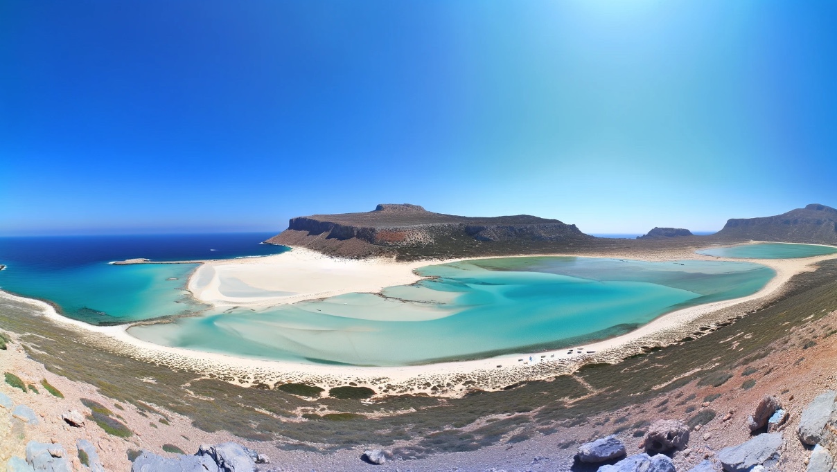
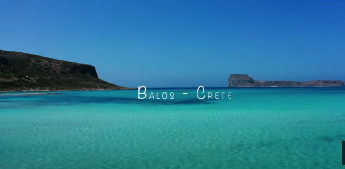
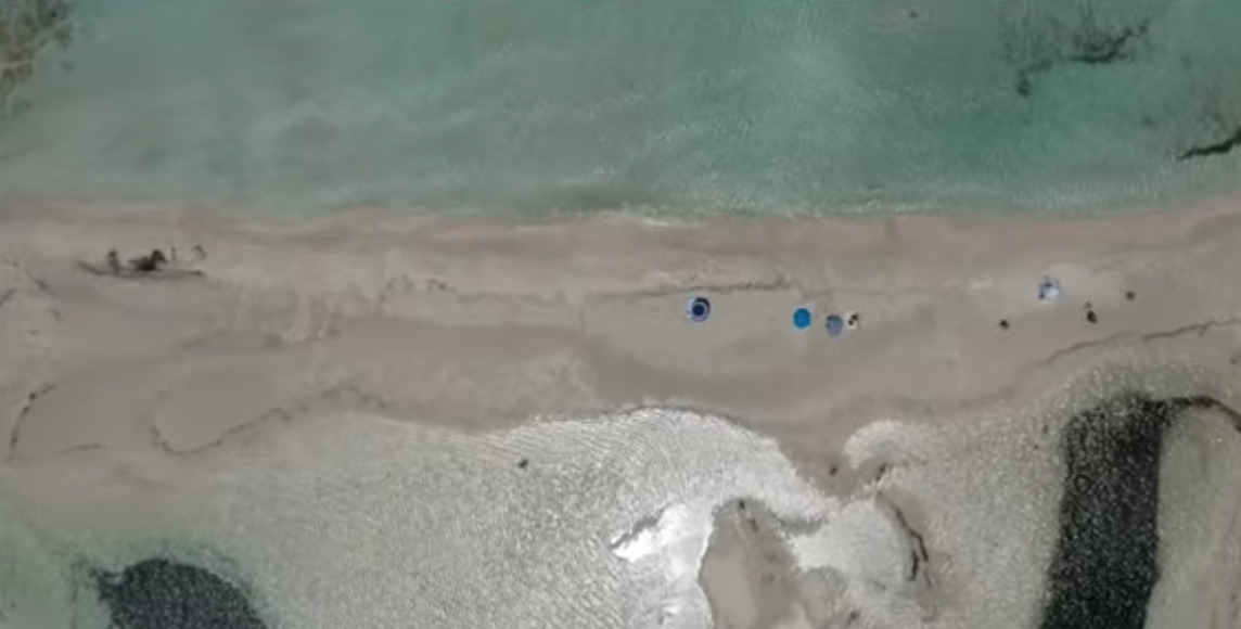
Balos (Μπάλος) is a shallow lagoon at the north-western tip of Crete, between Cape Tigani and Cape Vouxa in the bay of Gramvousa. It lies some 56 kilometres north-west of Chania and about 17 kilometres from Kissamos, the nearest town. White sand, limestone crags and glass-clear water combine here into a landscape that is among the best known on the whole island; to the east it is overlooked by the bare ridge of Geroskinos.
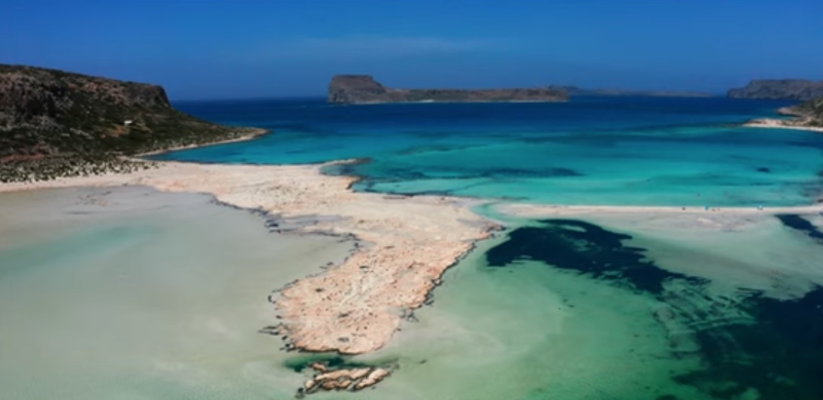
In the shallows the sand looks white, but in places it takes on a rosy tinge. It comes from millions of ground-down seashells and fragments of coral; the colouring is due to the shattered casings of foraminifera, minute single-celled sea creatures. The water shifts from an almost milky turquoise at the shore to deep blue in the open sea, and from warm and knee-deep inside the lagoon to markedly colder and deeper beyond the rocks that close it off; the bottom of the lagoon itself is soft and in places muddy. How one perceives the tones depends on the depth of the water, the dampness of the sand, the angle of the light and the swell – which is why the lagoon looks different in the morning from the way it does in the late afternoon.
How the lagoon is put together
Balos lies on the north-western projection of the Gramvousa peninsula. Limestone slopes, a sand spit and offshore island masses enclose the lagoon; the narrow passage between the shallows and the open sea creates a closed, sheltered space. The rocky block of Cape Tigani – the name means “frying pan” – is joined to the peninsula only by the strip of sand and forms, as it were, the bolt across the lagoon. When the wind gets up, however, conditions change quickly.
Balos belongs to the Natura 2000 network, the European system for protecting valuable habitats. The protection covers the lagoon, the dunes, the limestone slopes and the stretches of sea in which coastal birds and other organisms live: Eleonora’s falcons, shags and cormorants nest in the caves and on the cliffs, the Mediterranean monk seal shelters along this coast, and the loggerhead turtle (Caretta caretta) comes ashore here. The protected status does not close the area to visitors, but it does demand careful treatment of the ecosystem: take no sand away, keep off the dunes, leave no litter behind and do not disturb the birds.
The protected status of the landscape
A sand spit and shallow zones of water separate Balos from the open sea. The lagoon warms up more quickly than the deep sea, and the exchange of water depends on wind, tide and swell; in still, hot weather the shallows can smell a little stagnant, and currents sometimes wash in debris. A calm surface is therefore no guarantee of unchanging conditions over the course of the day: if the wind freshens, the shallow water quickly turns restless.
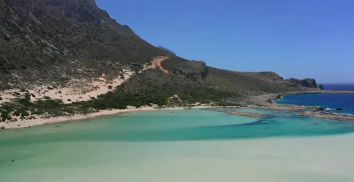
Salt-tolerant plants grow along the shore, and the dunes form shifting ramparts of sand shaped by the wind. Trampling and vehicles destroy the plant cover and speed up erosion; that is why it is forbidden to leave the marked paths or to drive on to the sand. There are no organised beach facilities in the usual sense beyond a simple canteen and a few umbrellas in season, and camping is not permitted either.
Getting to Balos
The sea route begins in the port of Kissamos (Kastelli Kissamou), the westernmost harbour in Crete. The excursion boats round the Gramvousa peninsula, passing the bay of Trachila, the Tersana cave and Cape Vouxa, and often combine a visit to the lagoon with a stop at the fortress on Imeri Gramvousa, about two nautical miles to the north-west. The lagoon has no proper landing stage; disembarkation therefore depends on the weather and may take place in shallow water.
By land, an unsurfaced track of about 10 kilometres leads from the village of Kaliviani along the Gramvousa peninsula. At the car park a path about a kilometre long begins with a steep descent; the climb back is strenuous, especially in the heat. Walkers with time to spare can cover the whole distance from Kaliviani on foot in roughly three hours. In high season both track and car park are overcrowded, above all in July and August, when hundreds of visitors fill the lagoon every day.
Balos and Gramvousa as a single journey
The lagoon lies beside Imeri Gramvousa, where a Venetian fortress of the 16th century survives, perched 137 metres above the harbour. It was built between 1579 and 1584; in the early 1690s it fell to the Ottoman Turks, and in 1825 Cretan insurgents captured it. After that the island became a pirate base, until Ioannis Kapodistrias intervened in 1828. Balos is best understood not as a secluded beach but as part of a route through natural and cultural history: lagoon, dunes, sea caves, fortress and open bay together make up a single landscape of the Cretan north-west.
There is hardly any shade at Balos. The protected area has no room for thoughtless mass tourism: whether the sand spit, the dunes and the shallow lagoon survive depends on the conduct of every single visitor.