The most complete guide to Crete: 221 places on the map, 23 routes and 49 articles — with photos, videos and the story behind every place. No sign-up, no trackers.
Routes drawn along real roads
Weather at every stop
Full-text search
“Near me” by geolocation
Create your own printable itinerary
Satellite, terrain, dark mode
Works offline
⌕
Searches 1.7 million characters of descriptions, not just names
—places
4regions
—routes
—with video
Search results
—
Interactive map
Find what is near you
Filters narrow the map and the list at once. Zoom out and pins group together.
Region
Category
Фильтры карты
Landmarks
Featured places
RegionCategory
Routes
Ready-made day trips
Individual places
Articles about landmarks
Balos: the lagoon between Gramvousa and Tigani
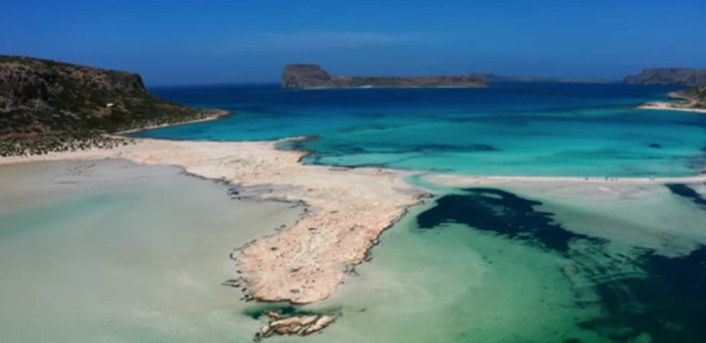
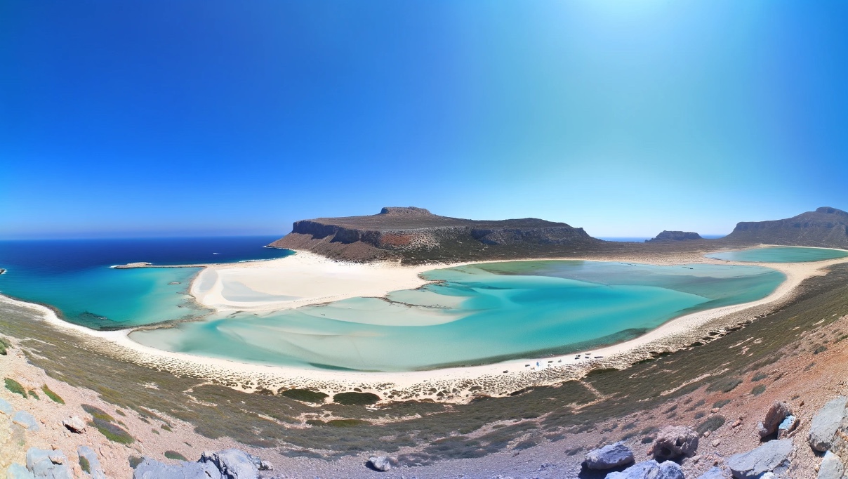
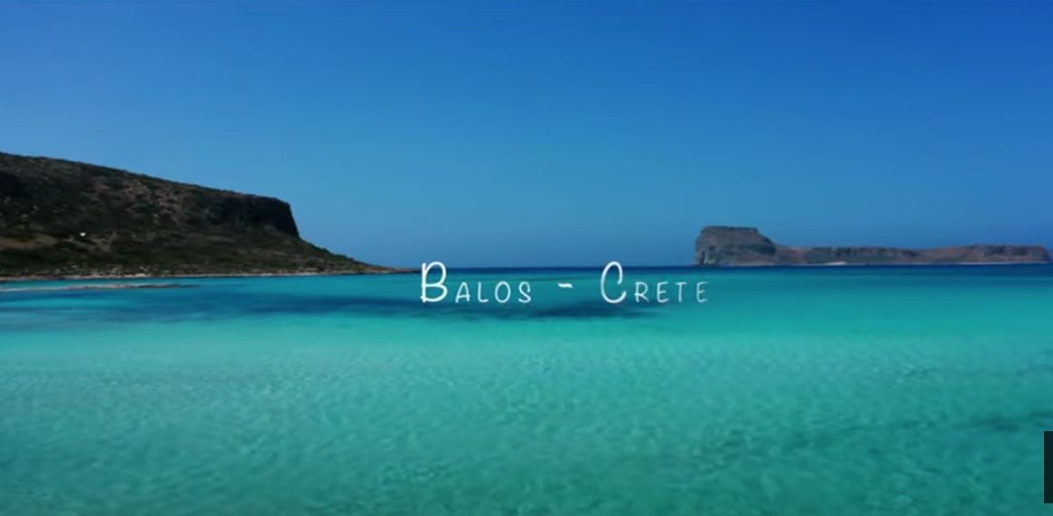
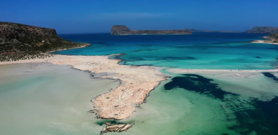
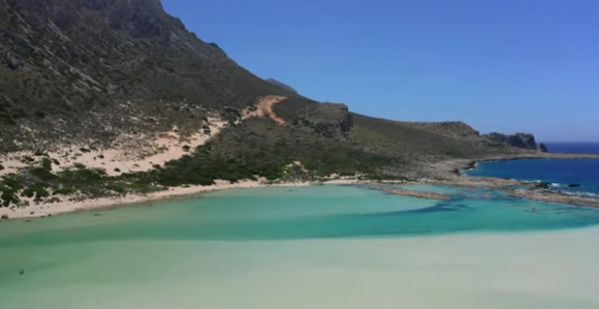
Balos (Μπάλος) is among the most celebrated natural landscapes of Crete. It owes its beauty not to the colour of water and sand alone but to the rare interplay of lagoon, low sandbar, rocky capes and open sea. The lagoon lies some 56 kilometres north-west of Chania and 17 kilometres north-west of Kissamos, to whose municipality it belongs, at the foot of bare Geroskinos, which runs through the Gramvousa peninsula like a spine.
Find on the map
Balos as a South Seas dream: Crete’s “Bounty beach”
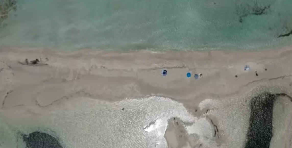
People come for the pale sand, to which ground seashells, fragments of coral and the shells of tiny single-celled sea creatures lend a pink sheen, and for the clear water, which changes colour: greenish over the shallows, turquoise in the middle of the lagoon, deep blue where it opens to the sea. In places the water is barely knee-deep and in summer very warm – ideal for small children; those who want to snorkel will find deeper, cooler water beyond the sandbar.
Balos lies at the north-western tip of the Gramvousa peninsula, between Cape Tigani and the peninsula’s outer coast. Tigani means “frying pan” – the flat, round lump of rock is attached to the land only by a narrow handle of sand. This is not an enclosed pool but a shallow lagoon separated from the open sea by a sandbar. The water warms up more quickly here, and both salinity and colour change with the tides, the wind and the exchange with the sea. Further north, at Cape Korykon, lie the scant remains of the small Roman town of Agnion, which had a temple of Apollo.
Tigani and Gramvousa: history at the edge of the lagoon
On Cape Tigani stands the little chapel of Agii Pantes (All Saints). In a cave in the rock, women and children of the district sought shelter from Ottoman troops in 1825 and met their deaths there; a memorial plaque commemorates them. Off the coast lies the island of Imeri Gramvousa – “tame” Gramvousa, as distinct from its “wild” neighbour Agria Gramvousa – with its Venetian fortress, laid out between 1579 and 1584 on a rock 137 metres high. Venice kept it after the loss of Crete in 1669 until its commander betrayed it to the Ottomans in 1691. During the Greek War of Independence it served insurgents and pirates alike as a base: several hundred Cretans seized the fort in August 1825 and held out for more than two years, building a school and the church of Panagia Kleftrina, until an Anglo-French squadron put an end to the piracy in 1828. The excursion boats usually call there before going on to Balos.
Getting there: by sea or by the track
Balos is reached by boat from the port of Kissamos or overland. The gravel track begins at the village of Kaliviani and ends after about ten kilometres at a broad car park with a small canteen; at the approach a fee is charged for the upkeep of the road and the protected area. From there a footpath about a kilometre long leads down to the lagoon in some twenty minutes – with that view from above which appears on every postcard. The descent is easy, but the way back uphill in full sun costs time and water; after rain the track becomes slippery, and many car-hire contracts exclude unsurfaced roads. Practised walkers go on foot from Kaliviani in about three hours. The sea route, for its part, shows the coast of Gramvousa and the islands from the water; with the stop at the fortress island it takes up most of a day.
Because of the protected status the facilities on the beach are modest: a few parasols, a canteen, scarcely any shade. In high summer, and in July and August above all, the lagoon fills up towards midday when the boats arrive; anyone looking for quiet comes early in the morning or stays until late afternoon. In a strong north-westerly, the meltemi, the crossing is rough and the sand flies.
A protected area
Balos belongs to the Natura 2000 protected area “Gramvousa – Tigani – Falasarna”. Protection here covers the coastal dunes, the phrygana (the low, thorny cushion scrub of Crete’s dry slopes), the communities of the shallows and the breeding and resting places of birds. Mediterranean monk seals frequent the sea caves of this coast, and loggerhead turtles are found in its waters. The restrictions on vehicles, on parking and on entering particular zones serve to preserve this delicate ecosystem.