Elafonisi: the island, the lagoon and the pink sand
The most complete guide to Crete: 221 places on the map, 23 routes and 49 articles — with photos, videos and the story behind every place. Everything is open and free: no sign-up, no paid sections and no advertising, open or hidden. You can install the guide on your smartphone as an app.
Routes drawn along real roads
Weather at every stop
Full-text search
“Near me” by geolocation
Create your own printable itinerary
Satellite, terrain, dark mode
Works offline
⌕
Searches 1.7 million characters of descriptions, not just names
—places
4regions
—routes
—with video
Search results
—
Interactive map
Find what is near you
Filters narrow the map and the list at once. Zoom out and pins group together.
Region
Category
Фильтры карты
Landmarks
Featured places
RegionCategory
Routes
Ready-made day trips
Individual places
Articles about landmarks
Elafonisi: pink sand, remembrance and a protected landscape
Elafonisi (Ελαφονήσι) lies five kilometres south of Chrysoskalitissa Monastery, in the far south-west of Crete and a good 75 kilometres from Chania – about an hour and a half by car, on a winding road that runs through the Topolia Gorge and the chestnut village of Elos. Administratively it belongs to the municipality of Kissamos. It is counted among the most beautiful places on the whole island.
Find on the map
Introduction
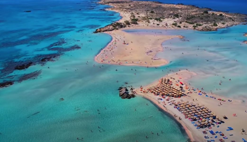
Elafonisi combines natural beauty of a kind hard to match anywhere in Crete with a dense and in places dark history. The islet – a long, narrow strip of land about a kilometre and a half from end to end and some 330 metres across on average, barely half a square kilometre in extent and only about thirty metres high at its summit – is one of the most picturesque and peculiar spots in Greece. Nobody lives on it. In front of it spreads a lagoon whose warm, turquoise water is seldom deeper than half a metre to a metre, which is why families with small children favour it; beyond begins a succession of small coves that grow quieter the further one walks towards the lighthouse, the western ones being largely free of sunbeds and other installations.
In antiquity the group of islets was identified with the “Musagores” mentioned by Pliny and Pomponius Mela; a late antique coastal pilot records an anchorage here and a sanctuary of Apollo. The modern name is usually explained as “Deer Island” (from ελάφι, “deer”). Local people, however, say Lafonisi, and some derive this from an old root meaning “to devour” – the shoals, so the argument goes, devoured ships. Neither explanation is established beyond doubt.
Where the pink sand comes from
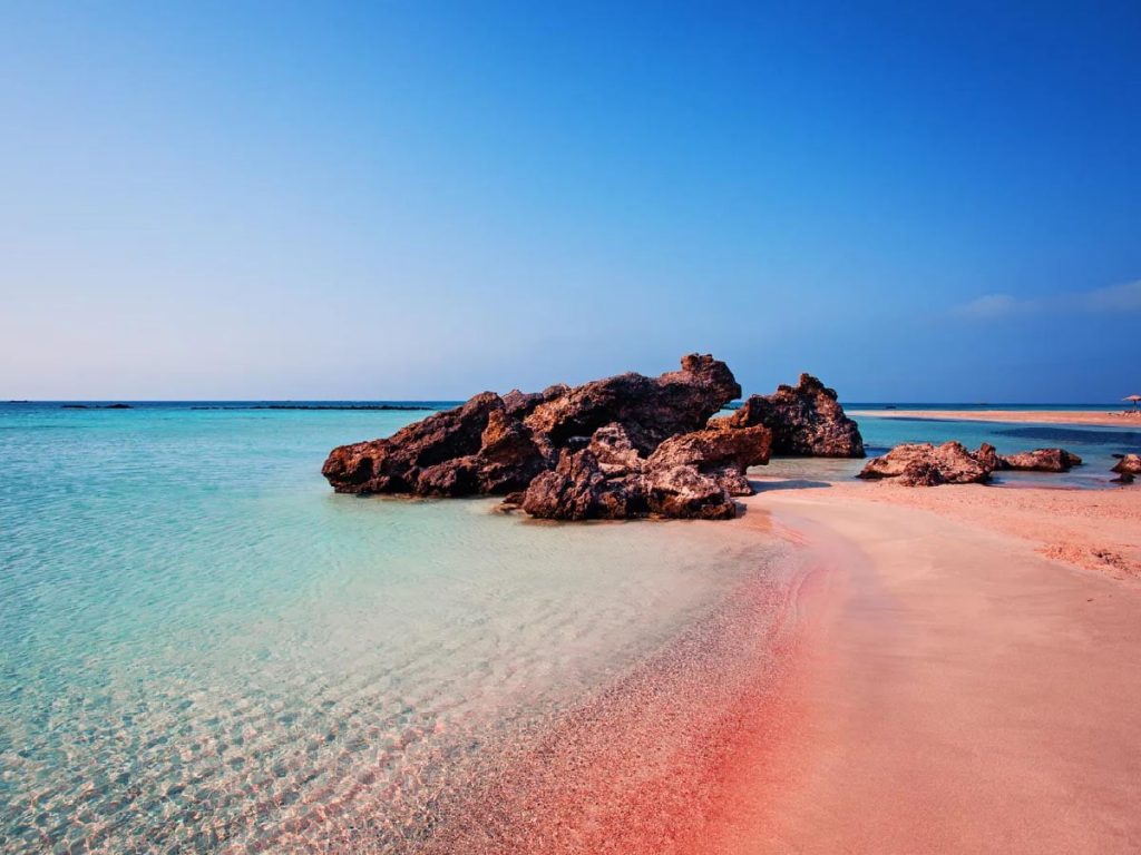
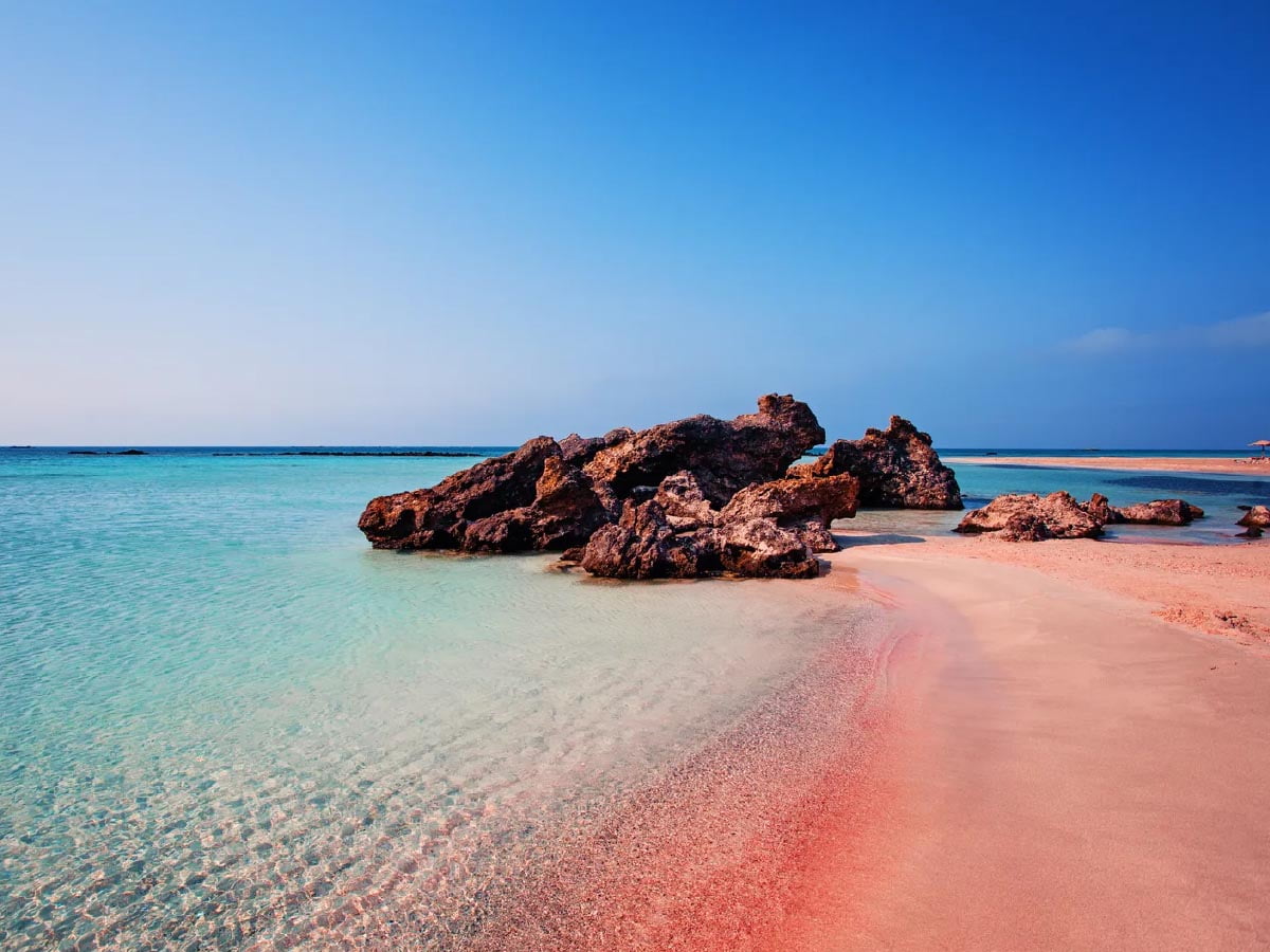
Elafonisi is famous for its pale sand with a pink sheen. The colour has no single source: it arises from a mixture of quartz sand, ground-up seashells and coral fragments, and the organic remains of tiny marine organisms, among them foraminifera, whose reddish calcareous shells are washed in by the surf. These creatures live among the seaweed and seagrass offshore, and it is the waves that deposit their pigmented remains along the beach. The tone changes with moisture, light and the movement of the water; it is strongest as a narrow band along the waterline, above all in the early morning, before the sun bleaches it.
Easter 1824: the massacre of Elafonisi
Popular tradition links the pink sand with the blood that was shed here in the 19th century. A memorial plaque on the highest point of the island recalls the tragedy. On Easter Sunday 1824 several hundred Christians from the surrounding villages had hidden on Elafonisi, chiefly women, children and the old. Some forty armed men guarded them, waiting for a ship that was to carry the refugees to the Ionian Islands. An Ottoman–Egyptian detachment – these were the years in which the troops of Ibrahim Pasha were putting down the Cretan uprising – was encamped on the opposite shore.
One of the horsemen crossed the shallow water that separates the island from the mainland, and those in hiding were discovered; according to another account it was a runaway pack animal that betrayed the ford. There were some 640 people on the islet. Most were killed; the survivors were carried off and sold in the slave markets of Egypt. The inscription on the monument commemorates the forty fighters and the six hundred women and children.
Legend explains the pink colour of the sand by the blood of the dead. It is an image of remembrance for the massacre, not a geological explanation: the natural colouring arises from the composition of the sand and from the marine organisms.
The loss of the “Imperatrix” and the lighthouse
A large wooden cross recalls the shipwreck of 22 February 1907 (9 February by the old calendar then in use in Greece). The passenger steamer “Imperatrix” of the Austrian Lloyd, built in 1888 and bound from Trieste for India, ran into a severe north-westerly gale and struck the rocks. Thirty-eight people drowned when their lifeboat capsized in the attempt to reach the shore; they were buried on the island. The rest were saved – with the help of the monks of Chrysoskalitissa and of Russian warships then stationed off Crete. The wreck still lies on the seabed off the cliffs of Elafonisi, and the disaster was one of the reasons for building a lighthouse on the crown of the hill. The original was a stone tower with 144 steps inside; one of its keepers in the 1920s was a Russian naval officer who, the story goes, had commanded one of the rescue vessels in 1907. The German occupiers destroyed it in the Second World War – it was bombed from the air and collapsed – and it was later replaced by a new metal light. Beside it stands the small chapel of Agia Irini; the walk there from the beach, across dunes and little coves, takes about twenty minutes.
Flora and fauna
The islet is characterised by dunes stabilised by marram grass (Ammophila arenaria); the sea daffodil or sand lily (Pancratium maritimum) grows here in great numbers, its white flowers breaking out of the bare sand in late summer and autumn. Tamarisks fringe the beach on the landward side. On the dunes, too, stand the wind-shaped large-fruited prickly junipers (Juniperus oxycedrus ssp. macrocarpa), the so-called sea cedars, which form a habitat under threat throughout Europe; the same trees give their name to Kedrodasos, the “cedar forest” beach about two kilometres to the east. Other dune plants include the spiny kidney vetch (Anthyllis hermanniae), Silene sedoides, Lotus creticus ssp. cytisoides, Ipomoea stolonifera, Orobanche versicolor and Plantago squarrosa. In the rocky part grow shrubby orache (Atriplex halimus), rock samphire (Crithmum maritimum), Inula crithmoides, the caper bush (Capparis orientalis), tree spurge (Euphorbia dendroides) and the wild fig (Ficus carica). The middle of Elafonisi is covered by phrygana, the low, thorny cushion scrub of the south, with thyme, white-flowering savory and wild marjoram. To these are added the rare endemics Androcymbium rechingeri – a tiny member of the autumn crocus family found at only a few places in western Crete – and Centaurea pumilio.
Terns breed on the island, and the Mediterranean monk seal is an occasional visitor to the rocks; on the beaches the endangered loggerhead turtle (Caretta caretta) lays its eggs. Among the birds it is the large gulls that catch the eye. In the hinterland, it is said, lives the shy Cretan wildcat; one is more likely to meet Erhard’s wall lizard (Podarcis erhardii), the big Balkan green lizard and a few species of snake.
Anyone who wants to experience Elafonisi in peace should come in May, June or October and as early in the day as possible: in high summer the lagoon fills up towards midday, and a strong wind often blows. The serviced part, with lifeguards, showers and snack bars, is the eastern side facing the lagoon; those in search of solitude keep walking west. There is hardly any shade. The European long-distance path E4 runs along the coast to this point, and Chrysoskalitissa Monastery is close enough to combine with the beach in a single day.